India launches its own weather satellite SCATSAT-1 into orbit

India launches its own weather satellite SCATSAT-1 into orbit
Published on

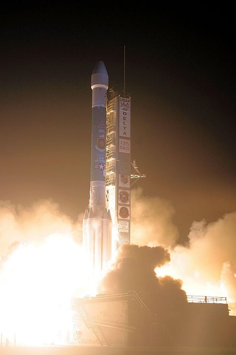
26 Sept, 2016: On Monday morning, India successfully put into orbit its own weather satellite SCATSAT-1 in a copy book style.

In the second phase of its mission, the rocket will launch seven other satellites – five foreign and two Indian – between 11.25 to 11.28 a.m., in a different orbit.

Exactly at 9.12 a.m., the PSLV rocket standing 44.4 metres tall and weighing 320 tonne tore into the morning skies with fierce orange flames at its tail.

Follow NewsGram on Twitter

Gathering speed every second, the rocket raced towards the heavens amidst the cheers of the Indian Space Research Organisation (ISRO) officials and the media team assembled at the rocket port here.

At the rocket mission control room, Indian space scientists at ISRO were glued to their computer screens watching the rocket escaping the earth's gravitational pull.

Seventeen minutes into the flight, the rocket's main cargo, the 371 kg SCATSAT-1 – for ocean and weather related studies – was injected into a 730 km polar sun synchronous orbit.

Although SCATSAT-1 is a follow-on mission for Oceansat-2 improvements have been made in the satellite's hardware configuration based on lessons learnt from Oceansat-2 instruments.

Also SCATSAT-1's payload has been characterised with the objective of achieving data quality for Climate Data Records, apart from facilitating routine meteorological applications, the ISRO said.

It said the SCATSAT-1's scatterometer will provide wind vector data products for weather forecasting, cyclone detection and tracking services to the users.

The satellite carries Ku-band scatterometer similar to the one flown onboard Oceansat-2.

The mission life of the satellite is five years.

The remaining seven satellites will be placed in a 689 km polar orbit later.

These seven satellites include five foreign satellites: three from Algeria (Alsat-1B 103kg, Alsat-2B 117kg, Alsat-1N 7kg), and one each from Canada (NLS-19, 8kg) and US (Pathfinder-44kg).

The two other Indian satellites are: Pratham (10kg) built by Indian Institute of Technology-Bombay (IIT-B) and Pisat (5.25 kg) from PES University, Bengaluru and its consortium.

According to the ISRO, the two Algerian satellites Alsat-1B and Alsat-2B are remote sensing satellites while Alsat-1N is a technology demonstration nano satellite for Algerian students.

On the other hand, the US satellite Pathfinder-1 is a commercial high resolution imaging micro satellite while the Canadian NLS-19 satellite is la technology demonstration nano satellite for experimentation in helping to reduce space debris and for tracking commercial aircraft.

The IIT-B's satellite Pratham's mission objective is to estimate the total electron count with a resolution of 1km x 1km location grid while Pisat from PES University and its consortium is a nano satellite for remote sensing applications.

After slinging SCATSAT-1 into its orbit the rocket's fourth stage will be restarted one hour 22 minutes into the flight and cut off around 20 seconds later.

Two hours and 11 minutes into the flight the fourth stage will again be restarted to be cut offAone minute later.

Following that in three minutes all the seven satellites will be ejected putting an end to PSLV's longest mission till date.

The PSLV rocket is a four stage/engine rocket powered by solid and liquid fuel alternatively.

Vikram Sarabhai Space Centre (VSSC) director K. Sivan told IANS on Sunday that the long time gap between the cutting off of the engine and its restart was not an issue.

Sivan said the first time the multiple burn technology was first tested by ISRO while flying its PSLV rocket on December 16, 2015 and in June 2016, the technology was again demonstrated.

Follow NewsGram on Facebook

About the challenge, Sivan said: "After cutting off the engine, its condition should be brought to such a stage that it could be restarted again. The next challenge is to controlling the engine and bringing it so as to eject the remaining satellites into a different orbit."

He said the rocket has GPS aided navigation system so that data generated by the rocket's inertial navigation system and the one provided by the former will be blended so as to erase and errors and to generate a precise data. (IANS)

logo
NewsGram
www.newsgram.com